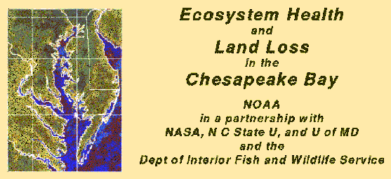
Introduction
One-fourth of the Chesapeake Bay, approximately
4100 km˛, is covered by wetlands
. Unfortunately, many of these fragile
ecosystems are being lost. Many possible reasons for this loss have been
suggested: urbanization, pollution, introduction of new plant and animal
species, subsidence and sea level rise. This study focuses upon
Through regular monitoring, patterns will emerge that will help determine
which factors are having the greatest impact on the wetlands; and therefore on
the health of the Chesapeake Bay as a whole.
Information about and results from the GPS trackings
sites around the Chesapeake Bay
This Project and the NOAA Strategic Plan
Bibliography and links to some related web sites
Last modified February 25, 1997
Dr. Tonie vanDam
or
Dr. Mark Schenewerk
Return to the GRD homepage