Figure 1
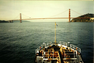
Figure 2
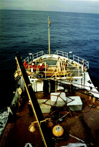
Figure 3
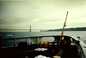
Figure 4
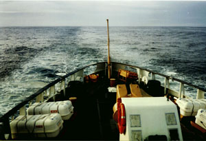
Figure 5
Status of Phase 1
Status of Phase 1 - Meetings Held at the Port of Oakland
There have been three meetings (July 15, October 23, and December 20, 1996) hosted by the Port of Oakland and NOS to discuss the real-time positioning of marine vessels project. All were held at the office of David A. Adams, Chief Wharfinger, Maritime Operations, Port of Oakland, California. The participants represented several interested groups. They included Federal agencies (Waterways Experiment Station/U.S. Army Corps of Engineers, USCG, NOS/NOAA, Geodetic Survey of Canada), port and harbor authorities, various commercial carriers and shippers, San Francisco Bar Pilots, San Francisco Marine Exchange, GPS and communication manufacturers, and private surveyors. These meetings were very helpful to NOS to obtain a good understanding of users' needs and for users to obtain a better understanding of what the new technology can do for them. A task force, consisting of members that represent the various groups, is being established to document the cost/benefit of implementing the real-time positioning system in the San Francisco Bay area.
Status of Phase 1 - Results of Test on Coast Guard Buoy Tender
In support of the project, on December 3-4, 1996, CS (Barry Gallagher), NGS (Don D'Onofrio and Curt Smith), Trimble Navigation Ltd. (Chuck Coiner), and USCG (Officers and crew of the buoy tender CGC BUTTONWOOD) performed GPS tests on the BUTTONWOOD. GPS data were used to compute the vessel's squat (dynamic draft), roll, pitch, and heading. During the test, five receivers continually collected data; one at a base station on the USCG pier on Yerba Buena Island, where the BUTTONWOOD docks, and four on the ship, two on the stern and two on the bow. CS installed a heave, pitch, and roll device in the engine room of the ship. Some general information about the CGS BUTTONWOOD is listed below:
| General Information about CGC BUTTONWOOD | |
| Length Overall | 180 Feet |
| Beam Molded | 37 Feet |
| Draft Mean | 12 Feet |
| Displacement | 935 Tons |
| Propeller Diameter | 8.5 Feet |
NGS processed the GPS data and computed the vessel's squat and 3-D attitude (roll, pitch, and heading). CS then correlated NGS' GPS results with results obtained from the heave, pitch, and roll device.
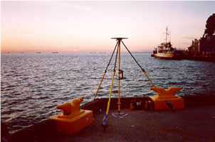
| As previously stated one receiver was set over a survey monument located at the USCG facility on Yerba Buena Island (figure 1). The monument's designation is BUOY. Two GPS antennas were placed on the bow of the vessel (figures 2 and 3) and two antennas were placed on the stern of the ship (figures 4 and 5). All receivers were Trimble SSI's and the antennas were Trimble Compact L1/L2 with Ground Plane. |
Figure 1 |
|
Figure 2 |
Figure 3 |
|
Figure 4 |
Figure 5 |
The test involved 2 days of observations on the CGC BUTTONWOOD. Information about the 2 days is listed below. Figure 6 depicts the ship's track on day 1 from the Golden Gate Bridge to the USCG facility on Yerba Buena Island. Figure 7 depicts the ship docking at Yerba Buena Island.
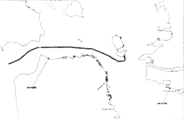 Figure 6 |
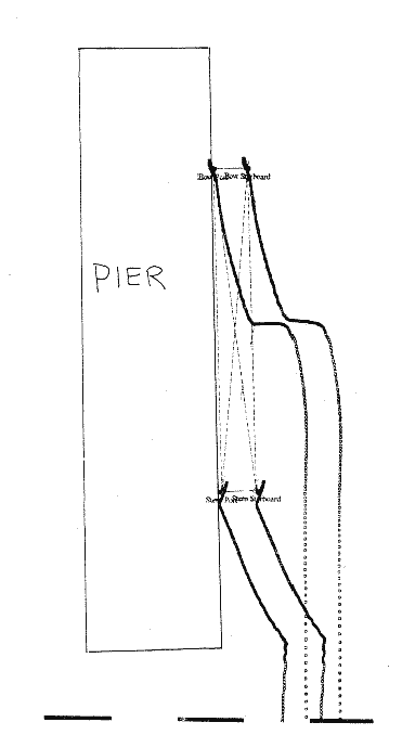 Figure 7 |