
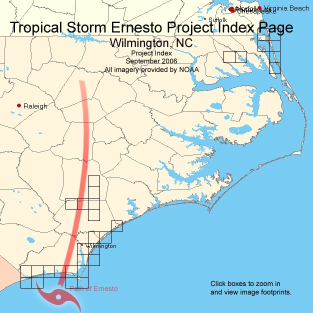
Image Index Map
All imagery provided by NOAA
Notes: Click inside yellow boxes for imagery. Image coverage is greater than graphic box. Graphic boxes have not been rotated to correspond to actual ground orientation.
The background was created using satellite data downloaded from the Global Land Cover Facility at the University of Maryland
Back to ERNESTO Index
Help/FAQ