Shape Files
Shape files provide information to enable image indexing.
One set of shape files is provided for each day plus one for the entire project.
Each set contains separate shape files for flight lines, image centers and image footprints.
Please review shape file attributes for further information.
All Images Last Modified: September 8, 2008 3:36 PM
September 7, 2008 Last Modified: September 8, 2008 3:38 PM
September 5, 2008 Last Modified: September 6, 2008 2:29 PM
September 3, 2008 Last Modified: September 4, 2008 10:46 AM
September 2, 2008 Last Modified: September 4, 2008 11:22 AM
Batch ZIP Files
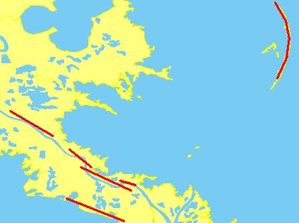
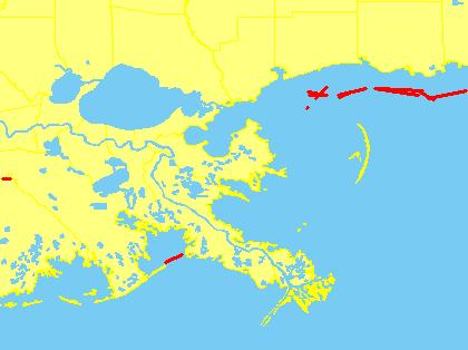
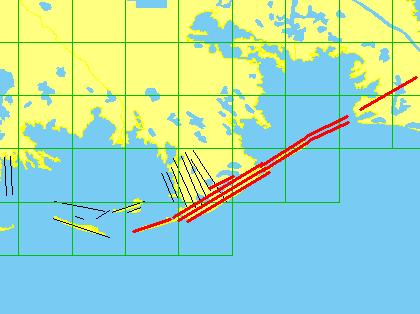
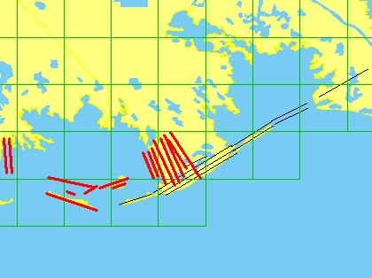
Images can be downloaded in batches via ZIP files. To reduce overhead on the server, each mission flight is divided into coverage area such that the ZIP files
are no larger than approximately 250 MB each. You should only download this data if you have a high speed internet connection AND only if you have a specific
need to download blocks of images. Click on a thumbnail to get a larger image of coverage.
If you are looking for a specific image or just browsing, please return to the previous page and click on the thumbnail image of Gustav's path to locate and view individual images.
All world files < 1 MB Last Modified: September 8, 2008 7:24 AM
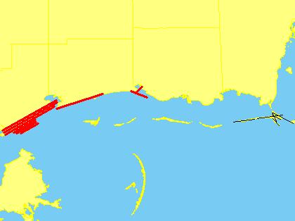
Flight 1:
 GUSTAVC24703808_1_1.ZIP 217 MB Last Modified: September 3, 2008 2:15 PM
Flight 2:
 GUSTAVC24757795_2_1.ZIP 255 MB Last Modified: September 4, 2008 10:32 AM
Flight 3:
 GUSTAVC24974234_3_1.ZIP 179 MB Last Modified: September 6, 2008 12:58 PM
 GUSTAVC24974234_3_2.ZIP 242 MB Last Modified: September 6, 2008 1:02 PM
Flight 5:
 GUSTAVC25161006_5_1.ZIP 118 MB Last Modified: September 8, 2008 3:12 PM
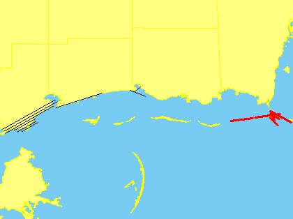 GUSTAVC25161006_5_2.ZIP 117 MB Last Modified: September 8, 2008 3:14 PM
|
