Topographic Maps or T-Sheets
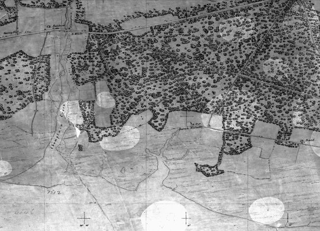
Portion of First T-sheet: The first topographic map created by the Survey was originally a single, long and narrow sheet, about two feet wide and over nine feet long.
Nautical charts were built from two types of surveys. Hydrographic surveys mapped the depths of coastal waters and off-shore hazards. Topographic surveys mapped the shoreline’s natural and cultural features, its elevations above the sea, and formed the basis for a coastal mapping program.
The U.S. Coast Survey created its first topographic map in 1834. At a scale of 1:10,000 (or about 6.3 inches to one mile), the map covered the shore of Great South Bay on Long Island, New York, between the towns of Babylon and Patchogue. There are over 14,000 topographic maps where many areas were resurveyed several times over the years providing a consistent source for historical studies including shoreline change analysis.
Coast Survey topographic maps eventually became known as topographic sheets, or “T-sheets.”

