Equipment
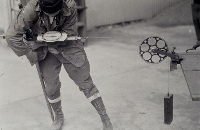
This photograph shows a surveyor using a tape stretcher. In the early 1900s, tapes eventually replaced the bar apparatus as the practical means for measuring distances.
Geodesy is the science of measuring and monitoring the size and shape of the Earth and the location of points on its surface. Manual instruments such as theodolites and distance measurement tools were the basis for determining vertical and horizontal positions for much of NGS’s history.
Even when basic methodologies remained the same, surveyors were able to use scientific discoveries and improved technology to improve their equipment and measurements. Methodologies today continue to evolve, particularly with the use of space-based positioning technology.

